Хаягийн систем
Газар зүйн координат дээр суурилсан стандартчилагдсан хаягийн систем
22
Аймаг, нийслэл330+
Сум, дүүрэг1.2сая
Бүртгэгдсэн хаяг156
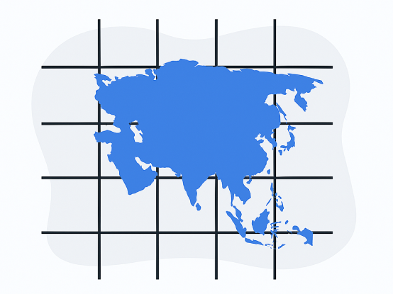
100км торлогТанилцуулга
Торлогийн системийн тухай
01 / 05
What is a Grid?
A grid is a system based on geographic coordinates that divides the territory of Mongolia into uniformly sized square sections (grid / tile).

02 / 05
Main Purpose :
Precisely define location
Standardize addressing
Generate systematic code
Define zoning

03 / 05
How is Mongolia divided into grid sizes?
Mongolia's address system uses the following primary grids:
100 km x 100 km - macro level
10 km x 10 km - mid level

04 / 05
What is a 100x100 km grid?
This divides Mongolia into 100 km by 100 km squares.
For example:
Mongolia's total area is ~1,564,116 km²
100x100 km = 10,000 km² → Mongolia has ~156 such grids.
These are labeled using the Mongolian alphabet A-Я.

05 / 05
What is a 10x10 meter grid?
This is the smallest division: 10 meters by 10 meters.
For example:
A 20x30 m plot will contain ~6 such grids.
These are labeled using A-Я letters and 0000-9999 digits.
They can be used as address codes.
00 / 00